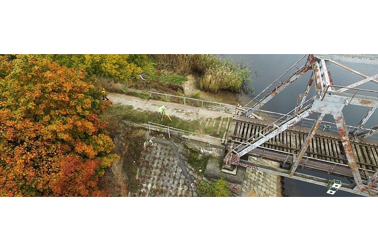
History of GEO Development:
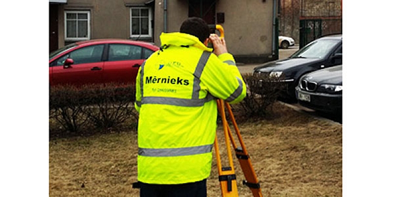
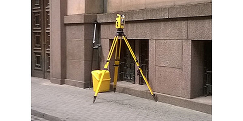
LTD "GEO Development" since 2007. provides services in the field of surveying and design related to land topographical surveying, civil engineering surveying, cadastral surveying, display of land surface plans, GIS development works, aerial photography and laser scanning, as well as consulting services related to real estate documentation from idea to project development. During these years, we have grown rapidly and created a team of certified surveyors who have many years of experience in the field of surveying. We offer a wide range of surveying services, as well as non-standard solutions and an individual approach to the requirements of each client. In cooperation with the client, the main emphasis is placed on the quality of service, so we always guarantee the accuracy of the work performed and the conformity of the result to the client's wishes.GEO Development offers:
- Topographic measurements
- Topographical plan
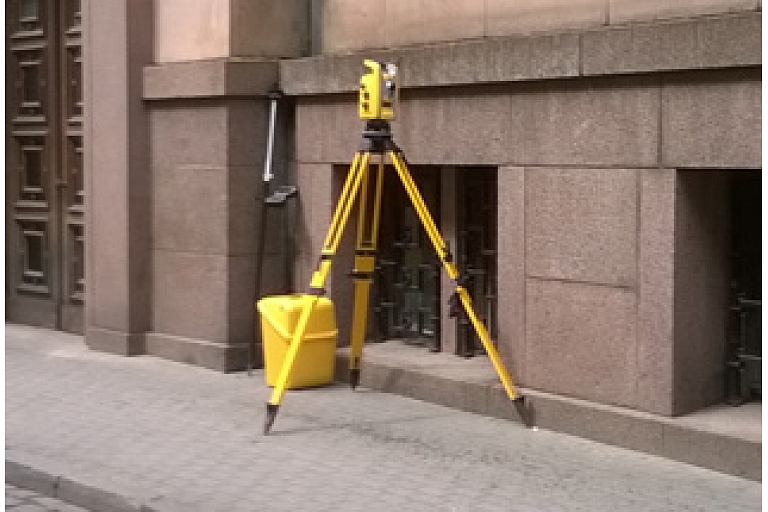
- Surveying
- Geodesic works
- Laser scanning
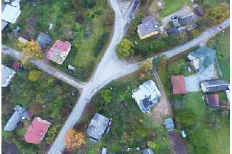
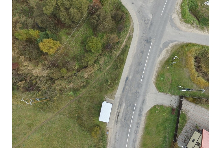
- Aerial photography
- 3D survey work
- Engineering geodetic works
- Land division, preparation of documents
Ltd. GEO Development is:
- Member of the Latvian Association of Cartographers and Geodesists;
- Registered in the Register of Construction Merchants with no. 10158-R.
Contacts
- Mobile phone +371 28659881
- E-mail info@geodevelopment.lv
- Homepage https://www.geodevelopment.lv/lv/
Want to get in touch with you? Fill out the form.
Contact formReviews
Profesionāli sniegti pakalpojumi
Attachments
Categories
Keywords
Surveyors, surveying, surveyor, land surveyors, topography, topographic survey, cartography, cartographer, surveying works, border surveying, cadastral survey, border surveying, land use, land use, land surveying, geodetic control mapping, executive schemes, building site maps, executive survey, performance of executive measurements, scheme preparation, construction axis, construction axis marking, geodesy, geodesist, geodesic works, topographical plan development, review plans of the property, geodetic monitoring of construction works, axis setting in nature, land distribution, ground splitting, land sharing, document keeping, preparation of documents for further land, for the exploitation of land, necessary act preparation, engineering geodesy, engineering geodetic works, utilities setting, engineering communication determination, engineering communication detailing, GPS support point installation, rappers installation, height point installation, geodetic support network installation, geodetic reference point installation, reference points, developed gravel pit volume calculation, calculation of area amount, protective zone determination, protective zone determination, track marking, geodetic research, topographic research, building demarcation, quality control, structure executive measurements, building supervision, 3D modeling of buildings, 3D survey work, aero photos, aero photo services, aerial photo, aero photo capture, surveying works, 3D format, 3D projects, aerial photography, terrain aerial photography, aerial photography of objects, video filming from the air, drones, use of drones, unmanned aerial vehicles, 3D surveying, indoor instrumental surveying, 3D building surveying works, volume calculations, building 3D survey for design needs, 3D topographic plan drafting, laser scanning, high resolution 3D point cloud acquisition, indoor scanning, building monitoring, building facade visualization.
Surveying geodesy cartography topography Skanste, 3D survey work Skanste, Aerial photography Skanste, Building Laser Scan Skanste, Engineering geodetic works SkansteBusiness region
Legal information
Registration number 40003956979
VAT number LV40003956979
Founded 21.09.2007
Legal address Lapeņu iela 7, Rīga, LV-1013
Submitted of annual reports 2024
Owners 1
Number of officials 1
NACE code and category 7112 Inženierija un ar to saistītas tehniskas konsultācijas
NACE version 2.1
Advanced reference
Annual Report 2024.
 Piegādā unikāli plašas un ātras satura meklēšanas iespējas konsolidētā juridisko un faktisko uzņēmumu datu bāzē.
Location
Photos 12
Article
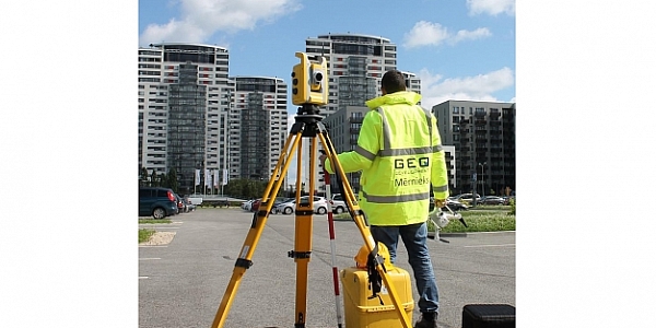
Mērniecība, topogrāfija. SIA "Geo Development"
Topogrāfija, topogrāfiskā uzmērīšana nozīmē topogrāfiskās informācijas – virszemes situācijas, pazemes inženiertīklu iegūšana, kā arī šīs informācijas sagatavošana un apstrāde, saskaņošana ar inženierkomunikāciju turētājiem un būvvaldi.

